
Survey and Mapping
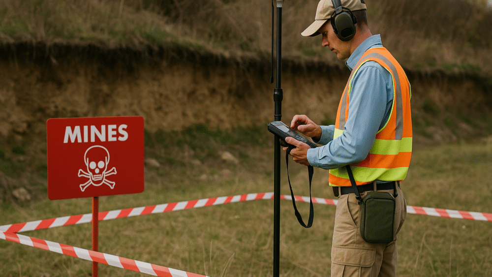
Survey and Mapping is the essential first phase of any demining operation, focused on identifying, documenting, and assessing areas contaminated with landmines and unexploded ordnance (UXO). Through systematic field surveys, data collection, and advanced geospatial analysis, specialists create accurate maps that define the extent and severity of contamination.
These surveys combine on-site inspection, local community interviews, satellite imagery, and GPS technology to produce detailed situational reports that guide all subsequent demining activities. The process helps prioritize high-risk zones, allocate resources efficiently, and ensure the safety of both personnel and local populations.
Mapping teams work closely with national mine action centers, humanitarian organizations, and local authorities to maintain up-to-date records and monitor progress in cleared areas. The data collected during survey and mapping operations forms the foundation for informed decision-making, risk assessment, and long-term land rehabilitation.
By transforming complex field information into precise, actionable maps, survey and mapping efforts make mine action safer, faster, and more effective — paving the way for community recovery and sustainable development.